Mount Healthy Historical Society

Mt. Healthy History
Mt. Healthy, originally called Mt. Pleasant, was a point more or less midway along the road that connected the young city of Cincinnati, which lay on the Ohio River to the south, and Fort Hamilton to the north. That road is now Hamilton Avenue. A local trail running east-west across the lands of Reuben Compton eventually became Compton Road (it was known in earlier years as Second Street). Today these two arteries cross in the heart of Mt. Healthy.
In the early 1800s, travelers along this dirt road between the cities of Cincinnati and Hamilton needed a place to stop, rest, and tend to their horses. A tavern, a blacksmith shop, and a wagon shop were among the first commercial enterprises near this intersection, which was surrounded by farmland. In 1840 a private company turned the old road through Mt. Pleasant into a paved turnpike, complete with a tollhouse - now part of our museum complex - for collecting the fees that paid for the turnpike's construction and upkeep.
As was true of many communities in the Ohio River valley, Mt. Healthy was part of the story of the American Civil War. Several homes in the town were stops on the underground railroad, where escaped slaves could seek shelter and aid on their flight northward to freedom. During the war, the many tailor shops located in the town produced soldiers' uniforms. Our Free Meeting House hosted an anti-slavery rally in the 1840s.
Since it began as a stopover on an important travel route, transportation continued to be of great importance to Mt. Healthy. In the late 1800s residents could travel into Cincinnati by either railroad or, in the 1890s, a streetcar.
The little settlement continued to grow, and was incorporated as a village in 1893. Mt. Healthy achieved city status in 1951, when its population exceeded 5,000.
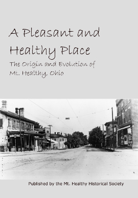
You can read more about the history of Mt. Healthy in our book:

